Trump’s EPA Has Made It Harder to Track Toxic Chemical Plants
Bowing to the chemical industry lobby, the Environmental Protection Agency has quietly hid data that mapped out the locations of thousands of dangerous chemical facilities across the US.
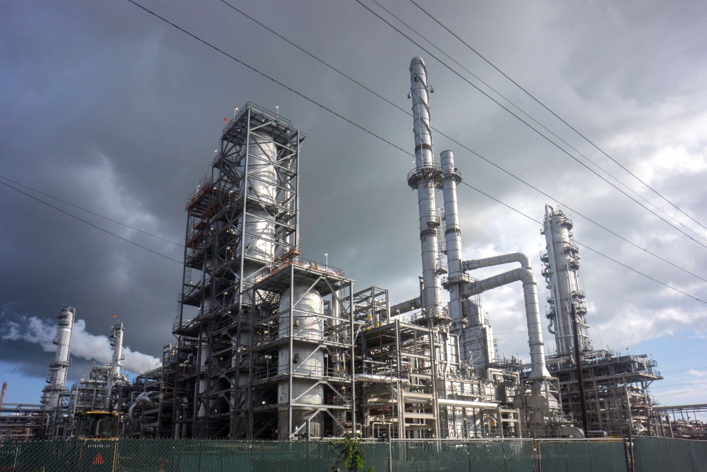
A chemical plant in Louisiana’s “Cancer Alley,” one of the most polluted areas of the United States, on October 12, 2013. (Giles Clarke / Getty Images)
The Environmental Protection Agency (EPA) just hid data that mapped out the locations of thousands of dangerous chemical facilities, after chemical industry lobbyists demanded that the Trump administration take down the public records.
The webpage was quietly shut down late Friday, according to records viewed by the Lever — stripping away what advocates say was critical information on the secretive chemical plants at highest risk of disaster across the United States.
The data was made public last year through the EPA’s Risk Management Program, which oversees the country’s highest-risk chemical facilities. These chemical plants deal with dangerous, volatile chemicals — like those used to make pesticides, fertilizers, and plastics — and are responsible for dozens of chemical disasters every year.